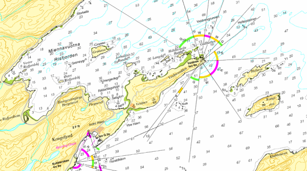
Electronic nautical charts of gulesider.no
Helpful to find good fishing areas off the Norwegian coast and to prepare yourself already at home are nautical charts.
Today, however, people no longer use the “good big old paper ones”. There are great free electronic solutions availible.
We have been using gulesider.no electronic nautical charts for years.
Follow the link. At the top left of the yellow search box enter the coordinates or the name of the camp. In the small window on the rightside select the variant Sjoekart, the fishing card on the PC. Make a print screen and print on paper. The magnification by mouse wheel goes up to a scale of approx. 10m. When we have printed 2 cards, we laminate this in front/back and always have them as spare and for the rough overview on board in case the technology fails.

